Unending Mountain Bike Trails
escape, relax, and reconnect with nature…
escape, relax, and reconnect with nature…
Reserve Your Mountain Cabin
Over 100 Miles of Bike Trails Start at Your Door
Your mountain bike adventure awaits from the moment you step outside your cabin and the trail goes on for over a hundred miles…
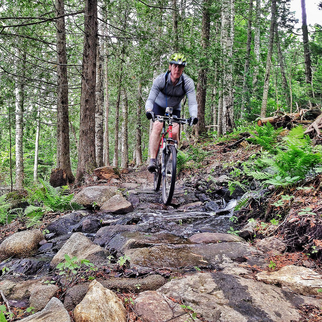
Looking for a challenge? Grab your bike and battle hairpin turns, steep hills, and miles and miles of mountain bike trails within the Ouachita National Forest in southeast Oklahoma. The Ouachita trail offers mountain bikers over 100 miles of adventure, beautiful views, stream crossings, and rugged terrain.
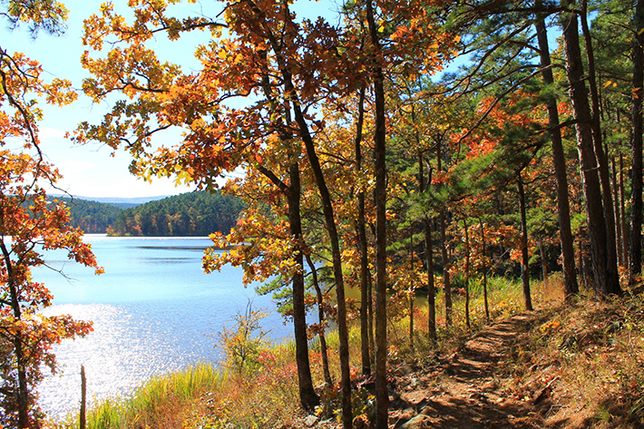
Length: 3 Miles / Singletrack
Elevation: 400′ Ascent / -200′ Descent
5% Avg Grade (3°) / 21% Max Grade (12°) / 728′ High
The trail hugs the shoreline and completely encircles Cedar Lake. This 3-mile loop of the trail offers an array of opportunities to day hikers and bikers who want to view waterfowl and wading birds that frequent the lake. No big hills, and just technical enough to be challenging for even the best rider.
From Cedar Lake Trail, you can access the Old Pine Interpretive Trail as well as the Horsethief Springs Trail. There are three ascents to the top of the Ouachita Mountain Range. A dirt road, a horse trail, and the hiking/biking trail. About a 7-mile trip one way by way of any of these three routes to the Ouachita Trail. Makes for a nice big challenging loop for the more experienced rider. Lots of other equestrian trails with some of them actually being pretty nice. Nice campground with a swim beach, showers, and electricity. Another little-known system of trails in the Ouachita Mountains. It will take a three-day weekend to ride all the trails.
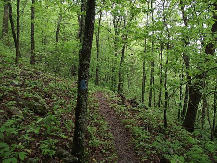
Length: 6 Miles / Singletrack
Elevation: 327′ Ascent / -1,291′ Descent
5% Avg Grade (3°) / 21% Max Grade (12°) / 1,743′ High / 759′ Low
If you think you can ride, I mean really RIDE, then you need to try riding here. This place will humiliate you! Seriously, this trail is a blast. Very technical, huge rocks line the trail in most sections. Going up the “hill” is a lot harder than the return trip. Plan on hiking your bike as well as riding. The last part of the trail up the hill is practically unrideable in the uphill direction, with many large rocks to thwart your progress. The ride back down to the lake is a BLAST! You can ride most of the way back down to the lake. Hope you have a good front shock, or better yet a full suspension bike. Bring a camera, the view from the outlook at the spring is awesome.
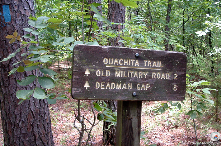
Length: 14 Miles / Singletrack
Elevation: 663′ High
The singletrack crosses creeks and roads. Out and back, 7 miles one-way. Some double track. There are some sections, like creek beds, where almost all people will hike-a-bike. Rock outcrops and loose rock in some sections. Very taxing trail, bring water and enthusiasm. Don’t bike alone, and sign in at the trailhead. Plenty of bugs (yes…ticks too).
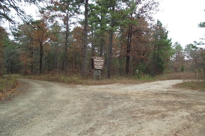
Billy Creek Trail
Length: 2.2 Miles / Singletrack
Elevation: 628′ Ascent / -3′ Descent / 5% Avg Grade (3°) / 21% Max Grade (12°) / 1,743′ High / 1,117′ Low
Generally, the area that this trail heads through tends to be steep at times with occasional boulder fields. The trail winds upwards to the Talimena Scenic Drive area.
The trail can be accessed using the gravel road (FS Road 6020B) from the Billy Creek parking lot for the first half mile before transitioning to FS Road K27 which is a 4×4 trail for approximately 1.5 miles. The trail then turns into multi-use as it becomes the Billy Creek Trail heading north past Billy Creek Spur, ending at the Talimena Scenic Drive, Hwy 1.

Length: 1.5 Miles / Singletrack
Elevation: 257′ Ascent / -252′ Descent / 6% Avg Grade (3°) / 17% Max Grade (12°) / 1,720′ High / 1,463′ Low
This trail is the most difficult trail in the area, mostly because there are a couple of short, steep climbs and tight switchbacks. It’s a good, challenging loop that’s rideable by all skill levels, but less skilled riders will push their bikes in a few places.
Earthquake Ridge
Length: 4.4 Miles / Singletrack
Elevation: 540′ Ascent / -540′ Descent / 5% Avg Grade (3°) / 16% Max Grade (12°) / 1,719′ High / 1,281′ Low
The Earthquake Ridge area along the Talimena Scenic Byway provides riding to suit all ability levels. It’s a nice short loop that riders might want to ride twice. There’s a bit of climbing, a few more challenging sections, and lots of twisty singletrack in the woods.
Choctaw Nation Traverse
Length: 30.4 Miles / Doubletrack
Elevation: 3,602′ Ascent / -4,175′ Descent / 5% Avg Grade (3°) / 23% Max Grade (12°) / 1,726′ High / 844′ Low
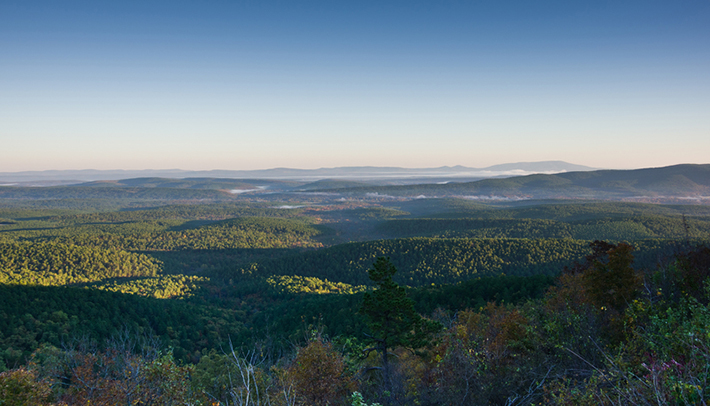
The Choctaw Nation Trail is a 43-mile multi-use trail that connects Holson Valley with the Kiamichi Valley on the southwest side of the Ouachita Mountains. Most of the route is doubletrack through a mix of hardwood and pine forests with plenty of up and downs. It’s a well-maintained trail and not overly technical. There are a few sections that might be rutted and/or rocky.
The ride starts on Old Military Road Trail on the north side of State Highway 1, winding its way to the north flank of Winding Stair Mountain. From here, it splits from the Old Military Road Trail and crosses the highway east of Old Military Road viewpoint.
The route then descends the south side of Winding Stair, crossing the Ouachita Trail several times before reaching the valley floor near Talimena State Park. From here, the ride heads east toward Bohannon Lake. This section is a rolling descent with a handful of steep, short climbs.
There is a big climb as you skirt north past Bohannan Lake, grinding in and out of small drainages along the way. This section of the route also has some beautiful forest and nice views from a prominent ridge.
The descent into Sycamore Creek is steep and quick. You may or may not encounter water here, depending on the season.
The last bit of the ride takes you across the wooded bottomland of Billy Creek, which is usually an exercise in boulder hopping. Once across, look for Forest Road 6020B and turn right (south), following it to the parking area.
Lake View Lodge Mountain Bicycle & Hiking Trail
Length: 4 Miles / Singletrack
Elevation: 400′ Ascent / -1,500′ Descent
5% Avg Grade (3°) / 21% Max Grade (12°) / 685′ High
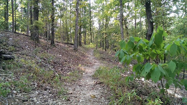
Newly created. There are 3 loops of wide and fast singletrack (could be termed doubletrack because of width). Smooth and fast. Can catch air on the trail in some sections. Not too much for climbs near the lodge. Novice to intermediate riding level. Scenic views of Broken Bow Reservoir. Hiking trail too. Camping nearby. No fees
Cedar Lake Trail
31 miles from your cabin
- DISTANCE: 3 miles
Horse Thief Spring Trail
23 miles from your cabin
- DISTANCE: 6 miles
Old Military Road Trail
40 miles from you cabin
- DISTANCE: 14 miles
Billy Creek North Loop
17 miles from you cabin
- DISTANCE: 2.2 miles
Earthquake Ridge Trail
40 miles from your cabin
- DISTANCE: 4.4 miles
Choctaw Nation Traverse
40 miles from you cabin
- DISTANCE: 30.4 miles
Lake View Lodge Mountain Bicycle & Hiking Trail
48 minutes from your cabin
- DISTANCE: 4 miles

